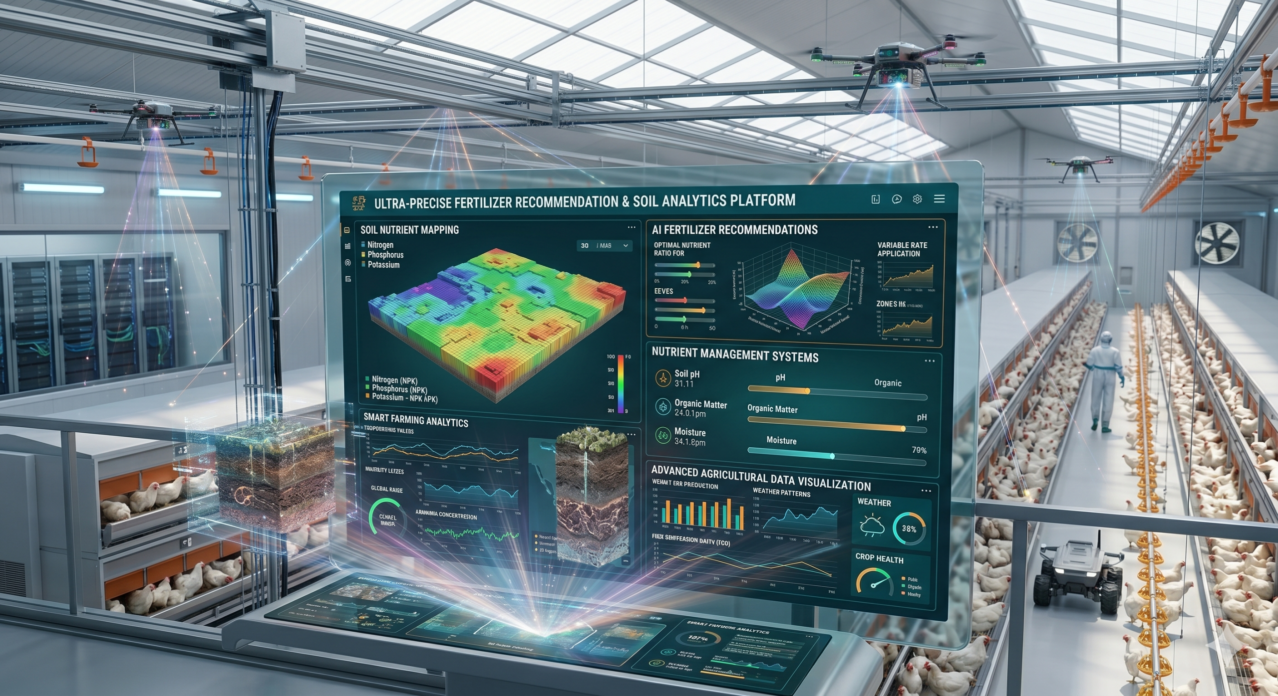
The Agricultural Drone Analytics Platform is a modern farm intelligence solution that uses drone technology, AI-powered imaging, and geospatial analytics to monitor crop conditions and improve agricultural productivity. The platform enables farmers to capture aerial field data for crop inspection, disease detection, irrigation analysis, and land mapping. High-resolution drone imagery combined with machine learning algorithms helps identify pest infestations, nutrient deficiencies, water stress, and crop damage with greater accuracy and speed. Farmers can generate detailed field reports, vegetation indexes, and land analysis maps to support precision farming decisions. The platform improves farm monitoring efficiency while reducing manual inspections and operational costs. It supports real-time analytics, cloud-based data storage, and remote access for agricultural consultants, agritech companies, and commercial farms. By integrating drone mapping with intelligent analytics, the software enables proactive farm management, higher crop yields, and sustainable agricultural operations through data-driven decision-making and advanced aerial monitoring technologies.

5 reviews for Agricultural Drone Analytics Platform
Nelson –
“A highly innovative tool that enhances productivity and supports sustainable farming practices.”
Farida –
“The aerial mapping and reporting features save time while improving decision-making.”
Zara –
“A powerful platform that provides detailed crop insights and improves farm monitoring efficiency.”
Olumide –
“The drone imagery and AI analytics help us identify crop issues before they become major problems.”
Haladu –
“Excellent solution for precision agriculture and data-driven farm management.”